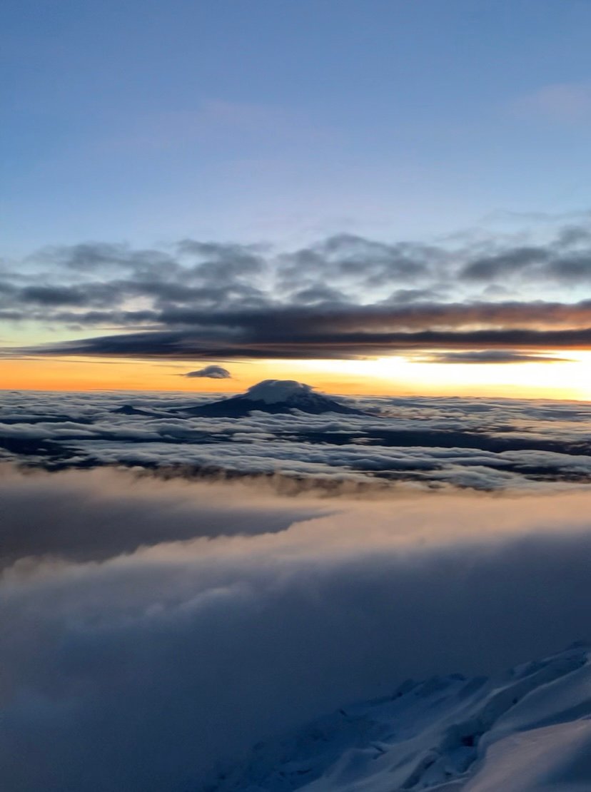
Ecuador is the perfect destination for trekkers, hikers, and mountaineers. Crossed by the Andes, we have plenty of middle mountains (below 5.000 m), high mountains (above 5.000 m), with several types of treks and hikes along the mountain range.
In Ecuador, a high mountain is above the 5.000 m., and is generally snow-covered on a considerable part of its surface. We have 10 high-mountains in Ecuador: Chimborazo, Cotopaxi, Cayambe, Antisana, El Altar, Iliniza Sur, Sangay, Iliniza Norte, Tungurahua, and Carihuairazo.
Their difficulty, both physical and technical, may vary depending on each mountain, and on the specific route taken for ascending. In other words, the same mountain might be a little harder to climb if a more technical route is taken. It is important that, before attempting any high mountain in Ecuador, you be acclimatized to high altitudes, for preventing altitude sickness.
Having a good physical condition, and exercising on a regular basis is also recommended. Even if you are a sporty person, do not underestimate the importance of adapting to high altitudes in a progressive way before going for a high summit. And of course, get information about the technical difficulty to check if you are well prepared.
Despite their altitude, these mountains can be relatively easy to access, due to some factors: the small size of Ecuador, the proximity of the mountains to major cities or villages where you can hire agencies’ or guides’ services, and to the availability of roads and their good conditions. For most of these high peaks, 2 days and 1 night (in some cases less) will be enough for ascending and descending.
Below, you will find more information about each of these high-mountains:
Chimborazo (6.263 m)
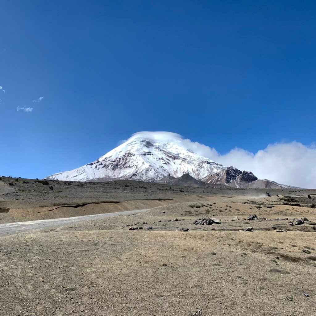
The farthest point from Earth’s center, the Chimborazo Volcano, is the highest peak of Ecuador, and is located in the Reserva de Produccion Faunistica Chimborazo, in the Chimborazo province.
This volcano is currently inactive. The ascent is physically demanding, though like many of other Ecuadorian peaks, it can be climbed with moderate technical difficulties.
The Chimborazo has 2 huts and 1 basecamp. Sleeping at the basecamp is a good idea for those who want to acclimatize at an altitude of 5.200 m. This will also reduce the distance to hike at midnight when waking up for attempting the summit. This mountain has two main peaks: Veintimilla (6.234 m.), and Whymper (6.263 m.), the highest one.
Cotopaxi (5.897 m)
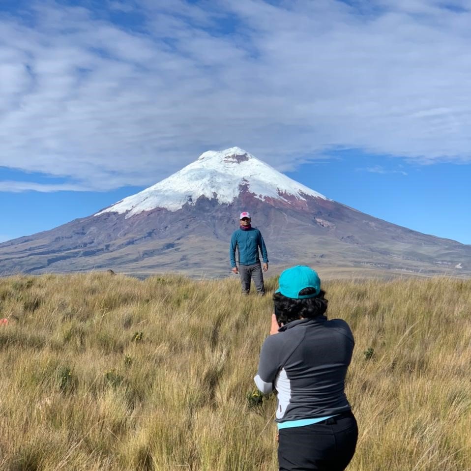
Cotopaxi Volcano is within the Cotopaxi National Park, in the Cotopaxi Province.
This volcano holds some records; one of them, for being the third-highest active volcano in the World. The most-known hut is the ‘Refugio Jose Ribas’, at 4.864 m. For reaching the hut, you will first need to go through the checkpoint of the Park, then towards the parking lot, where you will start a little hike of 45 minutes up to the hut. It is not always necessary a 4×4 car to reach the parking lot.
The ascent requires an excellent physical condition, though it is not a highly technical climbing. It is a relatively easy-access volcano from Quito or Latacunga, which makes it one of the most popular peaks to climb in the country. As Chimborazo, Cayambe, or Antisana, reaching Cotopaxi’s summit will usually take 2 days and 1 night.
Cayambe (5.790 m)
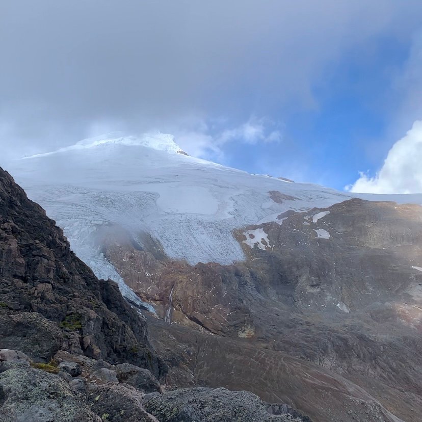
Cayambe Volcano is within the Cayambe – Coca Ecological Reserve, in the Pichincha Province.
Mountaineers who want to attempt its summit might lodge in the hut – located at about 4600 m. – or also camp in the surrounding allowed areas. After reaching the checkpoint in the Reserve, you will need a 4×4 car to access the hut. If you do not have one, you might rent the services of a local driver to take you up to the hut.
The ascent requires a good physical condition, previous experience with the altitude and a medium-high technical level. Cayambe is one of the Ecuadorian commonly climbed mountains prior to the attempt of the highest peak in Ecuador, the Chimborazo.
Antisana (5.758 m)
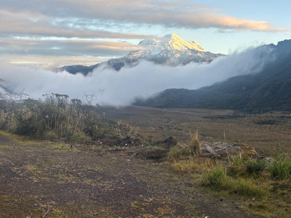
Localized in the Antisana Ecological Reserve, in the Napo and Pichincha provinces.
Its prominence is about 1225 m. from the base camp. It is considered one of the most technical ascents in the country, because of its numerous crevasses, ice walls, and slopes before reaching the summit.
Most of the times, the ascent and descent of this mountain will require at least 2 days and 1 night. Unlike Cotopaxi or Cayambe, Antisana does not have a hut, so you will necessarily have to camp on its baseline.
El Altar (5.319 m)
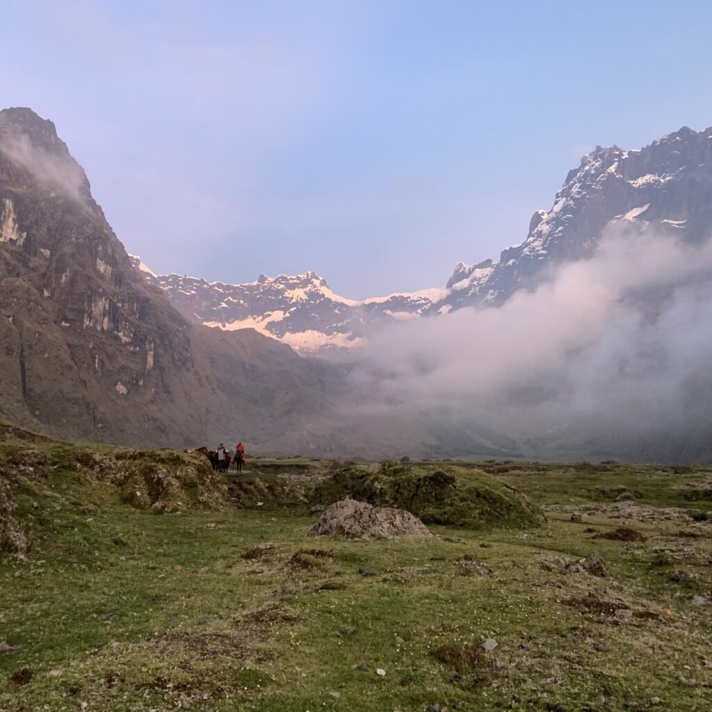
El Altar is an inactive volcano consisting of various peaks. Its name is due to its form, which resembles a church altar. Its peaks have religious names: Obispo (5319 m.), Monja Grande (5160 m.), Monja Chica (5080 m.), Tabernaculo (5180 m.), Fraile Oriental (5060 m.), Fraile Beato (5050 m.), Fraile Central (5070 m.), Fraile Grande (5180 m.), Canonigo (5.260 m.).
El Altar is within the Sangay National Park, in the Chimborazo province. In its crater, there is a beautiful lagoon called ‘Laguna Amarilla’, which is a popular destiny for many trekkers and does not require a technical level, just a good physical condition and acclimatization to the altitude. However, climbing the peaks is another story. El Altar is often considered to be the most technically difficult mountain to climb in Ecuador.
Sangay (5260 m)
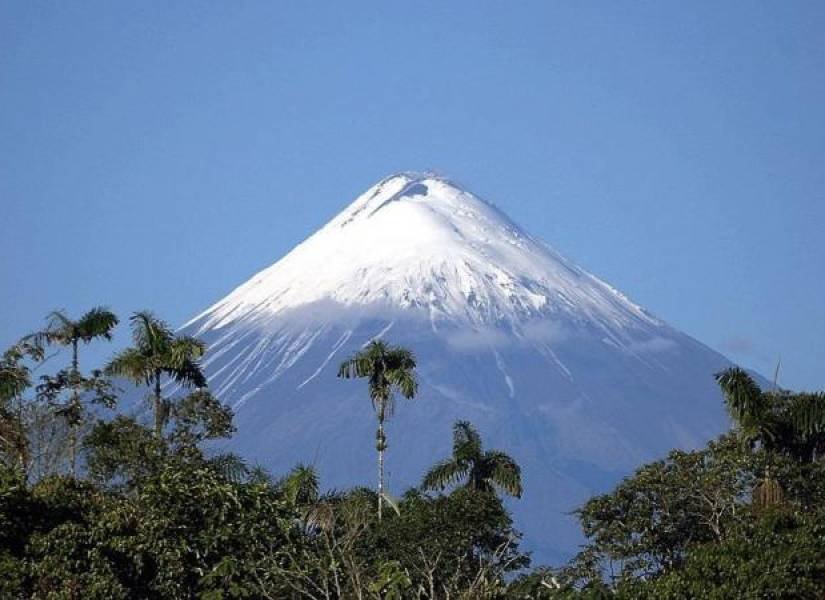
This peak is the most active volcano of Ecuador. It is located in the Ecuadorian Amazon region, in the Morona Santiago province, within the Sangay National Park, which thanks to its biodiversity, has been declared UNESCO World Heritage Site in 1983.
With a prominence of about 1.614 m., Sangay has 3 craters lined up along its summit. Technically, it is not a highly difficult mountain to climb, but it does require an excellent physical condition, since the approximation to its base requires a long trek that usually takes around 3 days.
Iliniza Sur (5245 m)
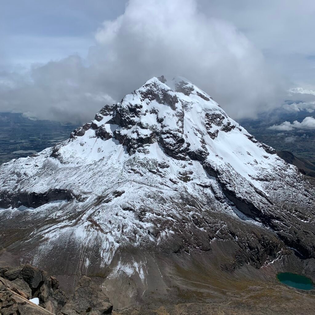
The Iliniza Sur is the south and highest peak of the Ilinizas Volcano, which is located in the Cotopaxi province, within the protected area Ilinizas Ecological Reserve. From the ‘Virgen parking lot’, its prominence is about 1295 m.
This summit is well-known as one of the most technically difficult of the country, and should be attempted in 2 days, as the other snowed major mountains. The first part of the hike generally starts from the ‘Virgin parking lot’ up to the hut (the same hut of Iliniza Norte), where you stay overnight, and start the summit attack the next day, early in the morning.
As mentioned, since it is a hard and technical peak, you will need prior technical experience before attempting it. Mountaineering gear is necessary (e.g. crampons, ice axes, helmet, harness, carabiners).
Iliniza Norte (5126 m)
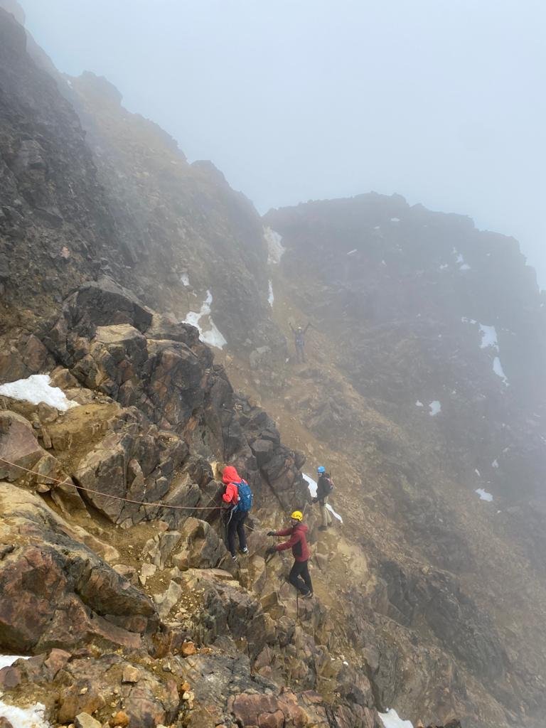
The Iliniza Norte is the north peak of the Ilinizas Volcano, which is located in the Cotopaxi province, within the protected area Ilinizas Ecological Reserve. From the ‘Virgen parking lot’, its prominence is about 1.176 m.
This summit can be done in 1 day, and it is a commonly frequented mountain to acclimatize before attempting higher peaks. However, it can also be attempted in 2 days, lodging in the hut during the night and going for the summit the next day early in the morning to see the sunrise; this is a good option for those who want to acclimatize to the height by sleeping at around 5000 m.
It is not a particularly hard peak to climb, and requires and mild-moderate technical knowledge, and a high physical level. It does not have permanent snow, and most of the times, you will not require crampons nor ice ax. This is a rocky mountain, so there is a constant fall of rocks, that is why you will still need some basic gear, like helmet and harness.
Tungurahua (5023 m)
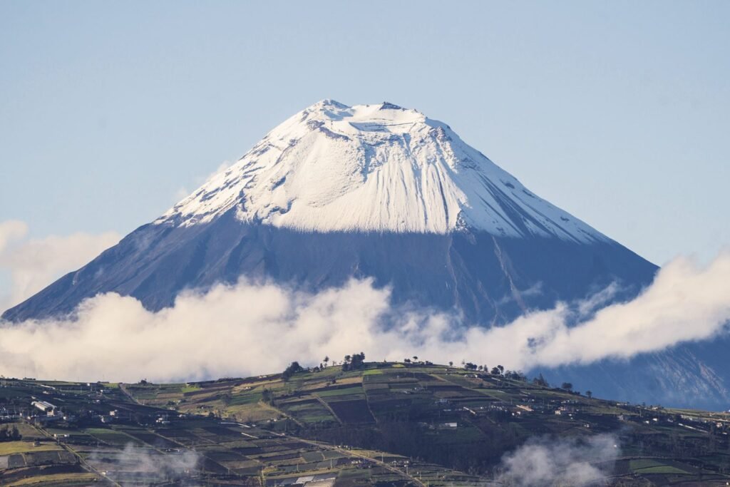
Active Volcano situated in the Tungurahua province, within the protected area Sangay National Park. The prominence of Tungurahua is about 1554 m.
This summit is not the most technical among the Ecuadorian high-summits; but physically, it requires an excellent condition, due to its considerable prominence. It is possible to summit this peak in just one day, but it might result in an exhausting experience for some people. So it is better to attempt it in 2 days: the first part the first day-afternoon, sleeping in the hut, and going for the summit in the early morning the next day.
Carihuairazo (5018 m)
This inactive volcano is situated in the Chimborazo province, within the protected area “Reserva de Produccion de Fauna Chimborazo”. It has 3 main peaks: Central (5108 m.), Pico Mocha (4960 m.), and Los Josefinos (4900 m.). The prominence of Carihuairazo is about 620 m.
Even though it is not the highest of these 10 mountains, you will need some technical knowledge prior to attempting this summit, especially if you are going for the highest of the 3 peaks. You will need high mountain gear (e.g. crampons, ice axes, etc.).
Before attempting one of these mountains keep in mind:
- Unless you be a highly experienced mountaineer, do not attempt any of these summits on your own. Be always accompanied by a certified local mountain guide; this is the best way to have a secure experience during both your ascent and descent.
- If you decide to hire a local agency to arrange the logistics of your ascent, verify first that it is a registered one. You can verify this by contacting the Ecuadorian Ministry of Tourism through their information channels.
- If you prefer to hire a guide by yourself, you can check this link, where you will find the high-mountain certified guides in Ecuador. According to the arrangement you make, the guide can also take care of the permits you need to enter the protected areas where these mountains are located. Since, these mountains are located in protected areas, you will need authorizations and keeping up to date with any new regulation, news, or requirements (these might change from one day to the next due to weather or other type of factors.)
Leave a Reply